SWQPA Assessment Tool
How to Use the Tool
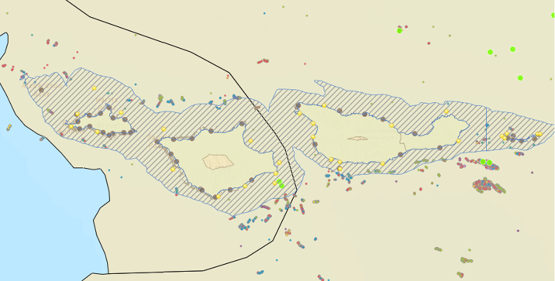
Our ArcGIS based tool is a GIS database of many data types that MAY apply to SWQPA.
Data layers are organized into six broad categories:
- Infrastructure and Recreation – Dive Sites, Ports, Fishing Piers, etc.
- Managed Coastal Areas – Marine Protected Areas, National Marine Sanctuaries, Halibut Trawl Grounds
- Species – Pinniped Haulouts, Harbor Seal viewings, Biodiversity Counts, Essential Fish Habitat
- Natural Resources, Habitats – Hydrology, Kelp, Wetlands, Predicted Substrate, etc.
- Water Quality -Power plants, NPDES Permits, 303d designations, etc.
- Renewable Energy – Wind Leases and Wind Planning Areas
You can navigate through any of these layers and turn them on and off in the ArcGIS Online application to view what type of resources, infrastructure, and restrictions are present at certain areas across the California Coast.
Test the Tool
Watch the Tutorial
The SWQPA Tool in Practice
For example, if you look at the Channel Islands National Park SWQPA in the SWQPA tool, you can see that this area has many natural and recreational resources that may warrant protecting its water quality. This SWQPA is adjacent to many Marine Protected Areas, has mostly good water quality, is in the habitat for a large range of endangered species, and has seasonal kelp beds. These factors potentially help support its nomination in 1974.
Have Questions? Want a one-on-one training for the tool?
Send us an email at coastalnbs@coastal-quest.org.